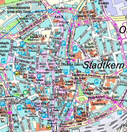
Historisches Stadtplanwerk RVR 2014 - SPW 2014 1:40.000
Die Karten stammen aus den Jahren 2008 bis 2014.
Simple
- Date (Creation)
- 2021-11-04
- Date (Revision)
- 2021-11-04
- Identifier
- https://registry.gdi-de.org/id/de.nw/bc4aec45-ae99-4223-b37a-4f39edaca4a7
- Theme
-
-
Stadtplanwerk
-
2014
-
Geobasisdaten
-
Regionalverband Ruhr
-
RVR
-
NRW
-
Nordrhein-Westfalen
-
Ruhrgebiet
-
Planung
-
Umwelt
-
Verkehr
-
Freizeit
-
Wirtschaft
-
- Access constraints
- Other restrictions
- Use limitation
-
Nutzungsbedingungen:
- Use constraints
- Other restrictions
- Other constraints
-
Nutzungsbedingungen:
- Other constraints
-
{"id":"", "name": "", "url": "", "quelle": "Quelle: © Regionalverband Ruhr"}
- Metadata language
-
ger
- Topic category
-
- Society
- Location
- Transportation
N
S
E
W
))
- Unique resource identifier
- EPSG:25832
- OnLine resource
-
spw_hist_2014_m40
(
OGC:WMS
)
Historisches Stadtplanwerk RVR 2014 - SPW 2014 1:40.000
- OnLine resource
- Historisches Stadtplanwerk RVR 2014 - SPW 2014 1:40.000 ( WWW:LINK-1.0-http--link )
- Hierarchy level
- Dataset
- Statement
-
eigene Erfassung des Regionalverband Ruhr mit Kommunen des Stadtplanwerk
- File identifier
- 1ced5091-cdba-4dfd-8a4c-276236ccb314 XML
- Metadata language
- Deutsch
- Character set
- UTF8
- Hierarchy level
- Dataset
- Date stamp
- 2026-01-08
- Metadata standard name
-
ISO 19115:2003/19139
- Metadata standard version
-
1.0
Overviews
thumbnail
Spatial extent
N
S
E
W
Provided by

Associated resources
Not available