Schrägluftbilddatenbank des Regionalverbandes Ruhr (SLDB)
Schrägluftbilddatenbank des Regionalverbandes Ruhr (SLDB)
Simple
- Date (Creation)
- 2016-02-19
- Date (Revision)
- 2018-10-16
- Identifier
- https://registry.gdi-de.org/id/de.nw/eb9def9b-98c8-47c9-b1a3-00aaaa66bc46
- Status
- On going
- Theme
-
-
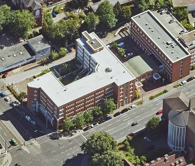
Luftbild
-
Luftbilder
-
Boden
-
REGI
-
- Access constraints
- Other restrictions
- Other constraints
- Es gelten keine Zugriffsbeschränkungen
- Use limitation
-
weitere Informationen auf Anfrage
- Use constraints
- Other restrictions
- Other constraints
-
{"id":"andere", "name": "benutzerdefinierte Lizenz", "url": "", "quelle": "Quelle: © Regionalverband Ruhr"}
- Other constraints
-
weitere Informationen auf Anfrage
- Metadata language
-
ger
- Topic category
-
- Imagery base maps earth cover
N
S
E
W
))
- Unique resource identifier
- EPSG:25832
- Distribution format
-
-
Application
(
)
-
Application
(
)
- OnLine resource
- Schrägluftbilddatenbank des Regionalverbandes Ruhr (SLDB) ( WWW:LINK-1.0-http--link )
- File identifier
- 2873b0d2-62ac-4c54-88bb-3557b156f34a XML
- Metadata language
- Deutsch
- Character set
- UTF8
- Hierarchy level
- application
- Date stamp
- 2024-11-13
- Metadata standard name
-
ISO 19115:2003/19139
- Metadata standard version
-
1.0
Overviews
thumbnail
Spatial extent
N
S
E
W
Provided by

Associated resources
Not available