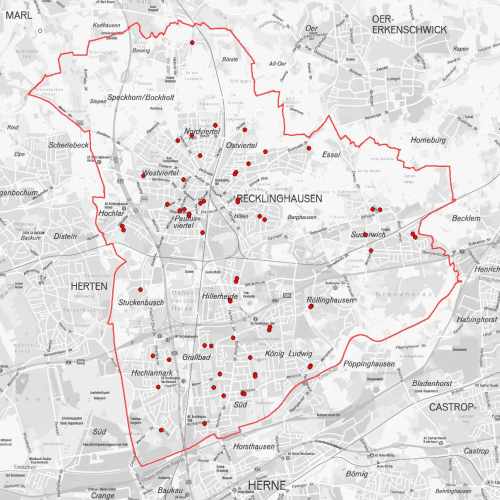
Wahllokal
Öffentlicher Ort in einem Stimmbezirk, an dem politische Wahlen durchgeführt werden. Der Raumbezug wird durch FB 62.12 (Geoinformationssysteme) hergestellt.
Simple
- Date (Creation)
- 2009-03-31
- Date (Revision)
- 2021-05-01
- Identifier
- https://registry.gdi-de.org/id/de.nw/82f61086-d4c3-49d9-8f04-8d516b753f5b
- Status
- On going
- Theme
-
-
Standortwahl
-
Vertretung
-
Politische Macht
-
Öffentlichkeit
-
opendata
-
SOCI
-
GOVE
-
- Access constraints
- Other restrictions
- Other constraints
- Es gelten keine Zugriffsbeschränkungen
- Use limitation
-
Nutzungsbedingungen: Datenlizenz Deutschland Namensnennung 2.0
- Use constraints
- Other restrictions
- Other constraints
-
Nutzungsbedingungen: Datenlizenz Deutschland Namensnennung 2.0
- Other constraints
-
{"id": "dl-by-de/2.0", "name": "Datenlizenz Deutschland Namensnennung 2.0", "url": " http://www.govdata.de/dl-de/by-2-0 ", "quelle": "Quelle: © Stadt Recklinghausen"}
- Spatial representation type
- Vector
- Metadata language
- Deutsch
- Topic category
-
- Society
- Location
))
- Unique resource identifier
- EPSG:25832
- Distribution format
-
-
MapInfo
(
)
-
MapInfo
(
)
- Name
-
Wahllokal
- Description
-
Wahllokal
- Function
- Download
- File identifier
- 3c7d13b6-a2c0-4ee5-9f99-91fdabb09064 XML
- Metadata language
- Deutsch
- Character set
- UTF8
- Hierarchy level
- Dataset
- Date stamp
- 2024-11-13
- Metadata standard name
-
ISO 19115:2003/19139
- Metadata standard version
-
1.0
Overviews
Spatial extent
Provided by