Luftbilder
Historische und aktuelle Luftbilder von 1926 bis heute zeigen, wie sich die Stadt im Laufe der Zeit verändert hat.
Simple
- Date (Creation)
- Identifier
- https://registry.gdi-de.org/id/de.nw/34b0c6c8-51f6-40d6-a5e0-f7dc52421e6b
- Status
- On going
- Theme
-
-
Luftbilder
-
Luftbild
-
REGI
-
- Access constraints
- Other restrictions
- Other constraints
- Es gelten keine Zugriffsbeschränkungen
- Use limitation
-
Nutzungsbedingungen: benutzerdefinierte Lizenz
- Use constraints
- Other restrictions
- Other constraints
-
Nutzungsbedingungen: benutzerdefinierte Lizenz
- Other constraints
-
{"id": "andere", "name": "benutzerdefinierte Lizenz", "url": "", "quelle": "Quelle: © Quelle: © Regionalverband Ruhr"}
- Spatial representation type
- Vector
- Metadata language
- Deutsch
- Topic category
-
- Imagery base maps earth cover
N
S
E
W
))
- Unique resource identifier
- EPSG:25832
- Distribution format
-
-
GeoTIFF
(
)
-
GeoTIFF
(
)
- OnLine resource
- Luftbilder
- File identifier
- 3d0ef995-47ca-463f-b7b0-f461cdfa6eec XML
- Metadata language
- Deutsch
- Character set
- UTF8
- Hierarchy level
- Dataset
- Date stamp
- 2024-11-13
- Metadata standard name
-
ISO 19115:2003/19139
- Metadata standard version
-
1.0
Overviews
thumbnail
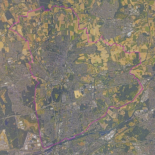
Spatial extent
N
S
E
W
Provided by
Associated resources
Not available