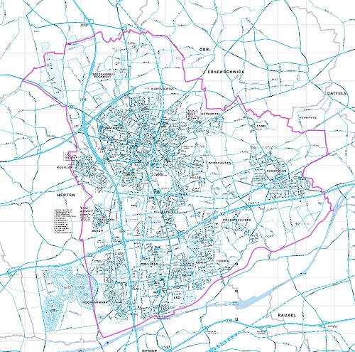
Strichplan
Stadtplan, in dem nur die Straße und Wege dargestellt werden.
Simple
- Date (Creation)
- Date (Revision)
- 2023-07-20
- Identifier
- https://registry.gdi-de.org/id/de.nw/e1a8db2a-9154-45b9-8c3d-597e0f1d3696
- Status
- On going
- Theme
-
-
Straßenverkehr
-
Verkehr
-
Kartographie
-
Straßennetz
-
Verkehrsweg
-
opendata
-
TRAN
-
- Access constraints
- Other restrictions
- Other constraints
- Es gelten keine Zugriffsbeschränkungen
- Use limitation
-
Nutzungsbedingungen: Datenlizenz Deutschland Namensnennung 2.0
- Use constraints
- Other restrictions
- Other constraints
-
Nutzungsbedingungen: Datenlizenz Deutschland Namensnennung 2.0
- Other constraints
-
{"id": "dl-by-de/2.0", "name": "Datenlizenz Deutschland Namensnennung 2.0", "url": " http://www.govdata.de/dl-de/by-2-0"}
- Spatial representation type
- Vector
- Metadata language
- Deutsch
- Topic category
-
- Imagery base maps earth cover
N
S
E
W
))
- Unique resource identifier
- EPSG:25832
- Distribution format
-
-
TIFF
(
)
-
TIFF
(
)
- Name
-
Strichplan
- Description
-
Strichplan
- Function
- Download
- File identifier
- 406f7194-83be-44a6-830e-e9e3370a472b XML
- Metadata language
- Deutsch
- Character set
- UTF8
- Hierarchy level
- Dataset
- Date stamp
- 2024-11-13
- Metadata standard name
-
ISO 19115:2003/19139
- Metadata standard version
-
1.0
Overviews
thumbnail
Spatial extent
N
S
E
W
Provided by

Associated resources
Not available