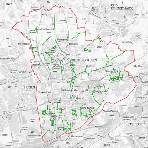
Straßenfluchtlinien
Die Straßenfluchtlinie ist eine abgesteckte bzw. eingetragene Fläche für eine schon bestehende oder noch zu bauende Straße, sie regelt in allererster Linie die Grenzen der öffentlichen Straße zu den angrenzenden Privatgrundstücken. Der Raumbezug wird durch FB 62.12 (Geoinformationssysteme) hergestellt.
Simple
- Date (Creation)
- 2009-01-01
- Date (Revision)
- 2022-08-25
- Identifier
- https://registry.gdi-de.org/id/de.nw/2c5f299c-cf7e-4306-9ffd-10b1d33d1784
- Status
- On going
- Theme
-
-
Informationssystem
-
Öffentlichkeit
-
opendata
-
REGI
-
- Access constraints
- Other restrictions
- Other constraints
- Es gelten keine Zugriffsbeschränkungen
- Use limitation
-
Nutzungsbedingungen: Datenlizenz Deutschland Namensnennung 2.0
- Use constraints
- Other restrictions
- Other constraints
-
Nutzungsbedingungen: Datenlizenz Deutschland Namensnennung 2.0
- Other constraints
-
{"id": "dl-by-de/2.0", "name": "Datenlizenz Deutschland Namensnennung 2.0", "url": " http://www.govdata.de/dl-de/by-2-0 ", "quelle": "Quelle: © Stadt Recklinghausen"}
- Spatial representation type
- Grid
- Metadata language
- Deutsch
- Topic category
-
- Environment
- Planning cadastre
- Location
))
- Unique resource identifier
- EPSG:25832
- Distribution format
-
-
MapInfo
(
)
-
MapInfo
(
)
- Name
-
Straßenfluchtlinien
- Description
-
Straßenfluchtlinien
- Function
- Download
- File identifier
- 7d8b6c2c-6674-4e59-a16f-a0fe9828ee12 XML
- Metadata language
- Deutsch
- Character set
- UTF8
- Hierarchy level
- Dataset
- Date stamp
- 2025-04-15
- Metadata standard name
-
ISO 19115:2003/19139
- Metadata standard version
-
1.0
Overviews
Spatial extent
Provided by