Digitale Orthophotos RVR 2019 - DOP 2019
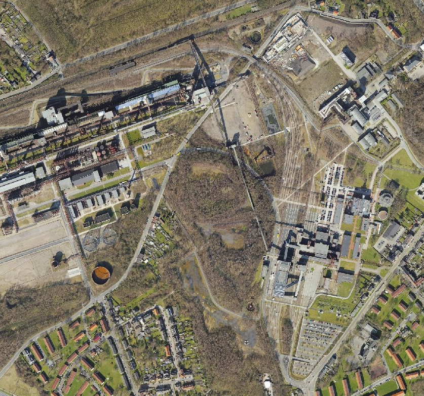
Die Luftbilder stammen aus den Jahren 2011 bis 2019 und sind mit einer Bodenauflösung von 0,1m beflogen. Die Aufnahmen liegen in Farbe vor.
Simple
- Date (Creation)
- 2019-11-25
- Date (Revision)
- 2019-11-25
- Identifier
- https://registry.gdi-de.org/id/de.nw/fbefe2ad-ba78-4024-b1c6-9ed50d6ff063
- Theme
-
-
opendata
-
- Access constraints
- Other restrictions
- Use limitation
-
Nutzungsbedingungen: Datenlizenz Deutschland Namensnennung 2.0
- Use constraints
- Other restrictions
- Other constraints
-
Nutzungsbedingungen: Datenlizenz Deutschland Namensnennung 2.0
- Other constraints
-
{"id":"dl-by-de/2.0", "name": "Datenlizenz Deutschland Namensnennung 2.0", "url": " http://www.govdata.de/dl-de/by-2-0 ", "quelle": "Quelle: © Regionalverband Ruhr"}
- Metadata language
-
ger
- Topic category
-
- Imagery base maps earth cover
))
- Unique resource identifier
- EPSG:25832
- OnLine resource
-
dop_2019
(
OGC:WMS
)
Digitale Orthophotos RVR 2019 - DOP 2019
- OnLine resource
- Digitale Orthophotos RVR 2019 - DOP 2019 ( WWW:LINK-1.0-http--link )
- Hierarchy level
- Dataset
- Statement
-
Luftbildbefliegung des Regionalverband Ruhr: Befliegung durch Aerowest GmbH, Meixner Vermessung ZT GmbH
- File identifier
- 81f2187d-7187-4795-aa6e-ae3eb5bcdf38 XML
- Metadata language
- Deutsch
- Character set
- UTF8
- Hierarchy level
- Dataset
- Date stamp
- 2025-11-18
- Metadata standard name
-
ISO 19115:2003/19139
- Metadata standard version
-
1.0
Overviews
Spatial extent
Provided by
