Bebauungspläne
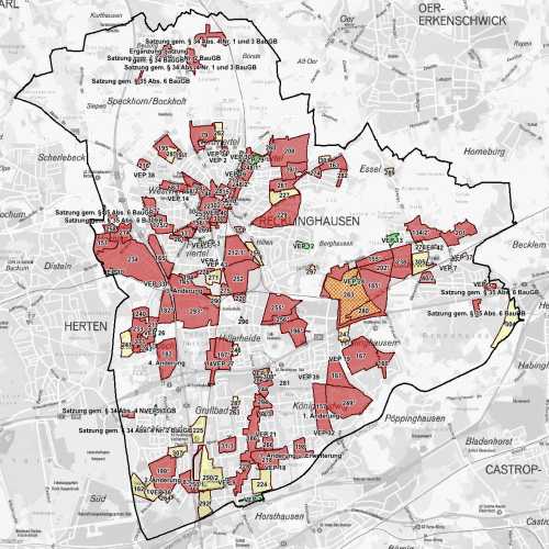
Bauleitplanung ist das zentrale Instrument, zur Ermöglichung von Bauvorhaben, zur Vermeidung städtebaulicher Fehlentwicklung und zur sinnvollen Ordnung von Art und Maß der baulichen Nutzungen. Die Übersicht enthält die Umringe der Geltungsbereiche vorhandener rechtskräftiger und im Aufstellungsverfahren befindlicher Bebauungspläne und können per Einzelauswahl als PDF angezeigt werden.
Der Raumbezug wird durch FB 62.12 (Geoinformationssysteme) hergestellt.
Simple
- Date (Creation)
- Date (Revision)
- 2023-03-13
- Identifier
- https://registry.gdi-de.org/id/de.nw/18f73f60-9e2d-4016-b6b3-e97f5e50a08f
- Status
- On going
- Theme
-
-
Bauland
-
Nicht bebaute Fläche
-
Bauvorschrift
-
Bauleitplanung
-
opendata
-
GOVE
-
- Access constraints
- Other restrictions
- Use limitation
-
Nutzungsbedingungen: Datenlizenz Deutschland Namensnennung 2.0
- Use constraints
- Other restrictions
- Other constraints
-
Nutzungsbedingungen: Datenlizenz Deutschland Namensnennung 2.0
- Other constraints
-
{"id": "dl-by-de/2.0", "name": "Datenlizenz Deutschland Namensnennung 2.0", "url": " http://www.govdata.de/dl-de/by-2-0 ", "quelle": "Quelle: © Stadt Recklinghausen"}
- Spatial representation type
- Vector
- Metadata language
- Deutsch
- Topic category
-
- Imagery base maps earth cover
- Planning cadastre
))
- Unique resource identifier
- EPSG:25832
- Distribution format
-
-
MapInfo
(
)
-
MapInfo
(
)
- Name
-
Bebauungspläne
- Description
-
Bebauungspläne
- Function
- Download
- File identifier
- 97191f56-9630-4bd0-ba79-fcc195371391 XML
- Metadata language
- Deutsch
- Character set
- UTF8
- Hierarchy level
- Dataset
- Date stamp
- 2025-04-15
- Metadata standard name
-
ISO 19115:2003/19139
- Metadata standard version
-
1.0
Overviews
Spatial extent
Provided by