Stadt Dortmund: Anwendung - Stadtplan (leaflet)
Stadtplananwendung bereitgestellt von der Stadt Dortmund mit der Software leaflet
Simple
Identification info
- Date (Revision)
- 2017-09-14T12:00:00
Point of contact
Stadt Dortmund
-
Geodatenmanagement Dortmund
(
Geodatenmanagement
)
https://stadtplan.dortmund.de
Märkische Straße 24-26
,
Dortmund
,
44122
,
Germany
+49 (0) 231 - 50 22393
https://stadtplan.dortmund.de
- Maintenance and update frequency
- Continual
- Update scope
- Software
- Theme
-
-
Dortmund
-
Stadtplan
-
Leaflet
-
Geodaten
-
- Access constraints
- Other restrictions
- Other constraints
-
Datenlizenz Deutschland - Namensnennung - Version 2.0
- Service Type
- application
- Geographic identifier
- Stadt Dortmund
N
S
E
W
))
- Coupling Type
- Loose
Contains Operations
- Operation Name
-
View
- Reference system identifier
- EPSG / ETRS89 / UTM zone 32N (EPSG:25832) / 7.9
- Distribution format
-
-
WWW:LINK-1.0-http--link
(
)
-
WWW:LINK-1.0-http--link
(
)
- OnLine resource
-
Stadtplan mit Leaflet
(
WWW:LINK-1.0-http--link
)
Geodatenkatalog der Stadt Dortmund
- File identifier
- ac3cd854-42c0-4efd-9dc9-4c4df9331971 XML
- Metadata language
- Deutsch
- Character set
- UTF8
- Hierarchy level
- application
- Hierarchy level name
-
application
- Date stamp
- 2017-09-15T11:15:38
- Metadata standard name
-
ISO19119
- Metadata standard version
-
2005/PDAM 1
Point of contact
Stadt Dortmund
-
Geoinformation Stadt Dortmund
(
Geodatenmanager
)
Telephone number of a facsimile machine for the responsible organization or individual
https://stadtplan.dortmund.de
Märkische Straße 24-26
,
Dortmund
,
NRW
,
44122
,
Germany
+492315022393
Telephone number of a facsimile machine for the responsible organization or individual
https://stadtplan.dortmund.de
Overviews
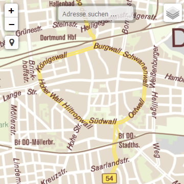
thumbnail
Spatial extent
N
S
E
W
Provided by
Associated resources
Not available