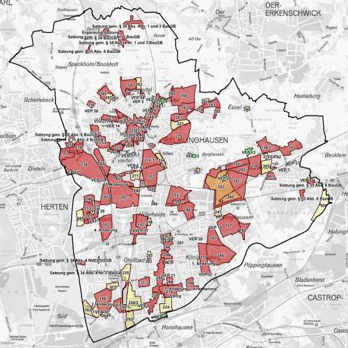
Bebauungsplanübersicht
Die Bebauungsplanübersicht enthält die Umringe der Bebauungspläne, Vorhaben- und Erschließungsspläne und Satzung gem. § 35 Abs. 6 Baugesetzbuch der Stadt Recklinghausen sowohl rechtsverbindlich als auch in Aufstellung befindlich.
Der Raumbezug wird durch FB 62.12 (Geoinformationssysteme) hergestellt.
Simple
- Date (Creation)
- Date (Revision)
- 2023-03-13
- Identifier
- https://registry.gdi-de.org/id/de.nw/83c78810-290f-4ed8-be67-a5e34418d562
- Status
- On going
- Theme
-
-
Nicht bebaute Fläche
-
Bebauungsplan
-
rechtskräftig
-
Bauleitplanung
-
Planungsmaßnahme
-
Städtische Gestaltung
-
opendata
-
SOCI
-
- Access constraints
- Other restrictions
- Use limitation
-
Nutzungsbedingungen: Datenlizenz Deutschland Namensnennung 2.0
- Use constraints
- Other restrictions
- Other constraints
-
Nutzungsbedingungen: Datenlizenz Deutschland Namensnennung 2.0
- Other constraints
-
{"id": "dl-by-de/2.0", "name": "Datenlizenz Deutschland Namensnennung 2.0", "url": " http://www.govdata.de/dl-de/by-2-0 ", "quelle": "Quelle: © Stadt Recklinghausen"}
- Spatial representation type
- Vector
- Metadata language
- Deutsch
- Topic category
-
- Location
- Planning cadastre
- Boundaries
- Imagery base maps earth cover
))
- Unique resource identifier
- EPSG:25832
- Distribution format
-
-
MapInfo
(
)
-
MapInfo
(
)
- Name
-
Bebauungsplanübersicht
- Description
-
Bebauungsplanübersicht
- Function
- Download
- File identifier
- c8eb1ce6-3ebc-4ecc-bf1e-0aae2836061c XML
- Metadata language
- Deutsch
- Character set
- UTF8
- Hierarchy level
- Dataset
- Date stamp
- 2025-04-15
- Metadata standard name
-
ISO 19115:2003/19139
- Metadata standard version
-
1.0
Overviews
Spatial extent
Provided by