Baumkataster
Ein Baumkataster ist ein Verzeichnis, in dem Bäume verwaltet werden. Alle erfassten Bäume müssen eindeutig identifiziert werden. Baumart botanisch, Baumart deutsch.
Der Raumbezug wird durch FB 62.12 (Geoinformationssysteme) hergestellt.
Simple
- Date (Creation)
- Date (Revision)
- 2023-11-03
- Identifier
- https://registry.gdi-de.org/id/de.nw/000c0091-8f61-45c5-a474-e0f27efb78c1
- Status
- On going
- Theme
-
-
Baum
-
Nadelbaum
-
Laubbaum
-
opendata
-
ENVI
-
- Access constraints
- Other restrictions
- Other constraints
- Es gelten keine Zugriffsbeschränkungen
- Use limitation
-
Nutzungsbedingungen: Datenlizenz Deutschland Namensnennung 2.0
- Use constraints
- Other restrictions
- Other constraints
-
Nutzungsbedingungen: Datenlizenz Deutschland Namensnennung 2.0
- Other constraints
-
{"id": "dl-by-de/2.0", "name": "Datenlizenz Deutschland Namensnennung 2.0", "url": " http://www.govdata.de/dl-de/by-2-0"}
- Spatial representation type
- Vector
- Metadata language
- Deutsch
- Topic category
-
- Environment
N
S
E
W
))
- Unique resource identifier
- EPSG:25832
- Distribution format
-
-
XLS
(
)
-
XLS
(
)
- Name
-
Baumkataster
- Description
-
Baumkataster
- Function
- Download
- File identifier
- ce128e1e-eec2-489b-bea2-21b9d0f11910 XML
- Metadata language
- Deutsch
- Character set
- UTF8
- Hierarchy level
- Dataset
- Date stamp
- 2024-11-13
- Metadata standard name
-
ISO 19115:2003/19139
- Metadata standard version
-
1.0
Overviews
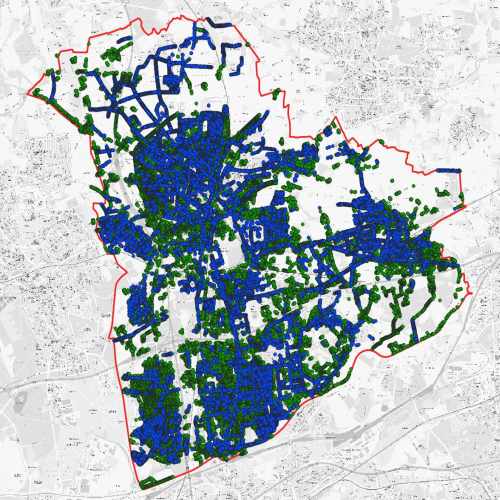
thumbnail
Spatial extent
N
S
E
W
Provided by

Associated resources
Not available