kleinräumige Gliederung (Baublöcke) Stadt Dorsten
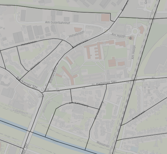
Der Dienst liefert die Darstellung der kleinräumigen Gliederung (Baublöcke) im Stadtgebiet Dorsten. Die Baublöcke bilden nach der Stadtgrenze und den Stadtteilen die kleinste statistische Einheit.
Simple
Identification info
- Date (Publication)
- 2022-02-01T13:17:40
- Status
- Completed
02362 66 5762
https://www.dorsten.de
- Theme
-
-
Baublöcke
-
Baublock
-
Baubezirk
-
kleinräumige Gliederung
-
Stadtteile
-
Stadtgrenze
-
statistischer Bezirk
-
Opendata
-
- Access constraints
- Other restrictions
- Other constraints
-
Nutzungsbedingungen: gebührenfrei - Vervielfältigung und Verbreitung, auch auszugsweise, mit Quellenangabe gestattet; Datenlizenz Deutschland Namensnennung Version 2.0
Kein amtlicher Nachweis - Alle Angaben nach bestem Wissen, jedoch ohne Gewähr für Vollständigkeit und Richtigkeit
- Use limitation
-
keine
- Service Type
- OGC:WMS
- Service Version
-
1.3.0
- Fees
-
keine
))
- Coupling Type
- Tight
Contains Operations
- Operation Name
-
GetCapabilities
- Distributed Computing Platforms
- HTTP-GET
- Distributed Computing Platforms
- HTTP-POST
- Connect Point
-
Format : text/xml
(
text/xml
)
Format :
text/xml
Contains Operations
- Operation Name
-
GetMap
- Distributed Computing Platforms
- HTTP-GET
- Connect Point
-
Format : image/png
(
image/png
)
Format :
image/png
- Connect Point
-
Format : application/atom+xml
(
application/atom+xml
)
Format :
application/atom+xml
- Connect Point
-
Format : application/json;type=utfgrid
(
application/json;type=utfgrid
)
Format :
application/json;type=utfgrid
- Connect Point
-
Format : application/pdf
(
application/pdf
)
Format :
application/pdf
- Connect Point
-
Format : application/rss+xml
(
application/rss+xml
)
Format :
application/rss+xml
- Connect Point
-
Format : application/vnd.google-earth.kml+xml
(
application/vnd.google-earth.kml+xml
)
Format :
application/vnd.google-earth.kml+xml
- Connect Point
-
Format : application/vnd.google-earth.kml+xml;mode=networklink
(
application/vnd.google-earth.kml+xml;mode=networklink
)
Format :
application/vnd.google-earth.kml+xml;mode=networklink
- Connect Point
-
Format : application/vnd.google-earth.kmz
(
application/vnd.google-earth.kmz
)
Format :
application/vnd.google-earth.kmz
- Connect Point
-
Format : image/geotiff
(
image/geotiff
)
Format :
image/geotiff
- Connect Point
-
Format : image/geotiff8
(
image/geotiff8
)
Format :
image/geotiff8
- Connect Point
-
Format : image/gif
(
image/gif
)
Format :
image/gif
- Connect Point
-
Format : image/jpeg
(
image/jpeg
)
Format :
image/jpeg
- Connect Point
-
Format : image/png; mode=8bit
(
image/png; mode=8bit
)
Format :
image/png; mode=8bit
- Connect Point
-
Format : image/svg+xml
(
image/svg+xml
)
Format :
image/svg+xml
- Connect Point
-
Format : image/tiff
(
image/tiff
)
Format :
image/tiff
- Connect Point
-
Format : image/tiff8
(
image/tiff8
)
Format :
image/tiff8
- Connect Point
-
Format : image/vnd.jpeg-png
(
image/vnd.jpeg-png
)
Format :
image/vnd.jpeg-png
- Connect Point
-
Format : image/vnd.jpeg-png8
(
image/vnd.jpeg-png8
)
Format :
image/vnd.jpeg-png8
- Connect Point
-
Format : text/html; subtype=openlayers
(
text/html; subtype=openlayers
)
Format :
text/html; subtype=openlayers
- Connect Point
-
Format : text/html; subtype=openlayers2
(
text/html; subtype=openlayers2
)
Format :
text/html; subtype=openlayers2
- Connect Point
-
Format : text/html; subtype=openlayers3
(
text/html; subtype=openlayers3
)
Format :
text/html; subtype=openlayers3
Contains Operations
- Operation Name
-
GetFeatureInfo
- Distributed Computing Platforms
- HTTP-GET
- Connect Point
-
Format : text/plain
(
text/plain
)
Format :
text/plain
- Connect Point
-
Format : application/vnd.ogc.gml
(
application/vnd.ogc.gml
)
Format :
application/vnd.ogc.gml
- Connect Point
-
Format : text/xml
(
text/xml
)
Format :
text/xml
- Connect Point
-
Format : application/vnd.ogc.gml/3.1.1
(
application/vnd.ogc.gml/3.1.1
)
Format :
application/vnd.ogc.gml/3.1.1
- Connect Point
-
Format : text/xml; subtype=gml/3.1.1
(
text/xml; subtype=gml/3.1.1
)
Format :
text/xml; subtype=gml/3.1.1
- Connect Point
-
Format : text/html
(
text/html
)
Format :
text/html
- Connect Point
-
Format : text/javascript
(
text/javascript
)
Format :
text/javascript
- Connect Point
-
Format : application/json
(
application/json
)
Format :
application/json
- Distribution format
-
-
(
)
-
(
)
- OnLine resource
-
Baublöcke (GetCapabilities)
(
WWW:LINK-1.0-http--link
)
Baublöcke
- File identifier
- fa4678f9-5636-48fc-a4fa-3ef00aeec1e0 XML
- Metadata language
- Deutsch
- Character set
- UTF8
- Hierarchy level
- Service
- Hierarchy level name
-
Dataset
- Date stamp
- 2025-02-19T12:41:43.128Z
- Metadata standard name
-
ISO 19119/2005
- Metadata standard version
-
1.0
02362 66 5762
https://www.dorsten.de
Overviews

Spatial extent
))
Provided by
