Straßenorthofotos RVR - StreetOrtho Ebene 2
Dieser Layer enthält die Straßenorthofotos Ebene 2. Informationen zum Befahrungsdatum am jeweiligen Ort finden Sie im Metadaten Layer.
Simple
- Date (Creation)
- 2025-01-28
- Date (Revision)
- 2025-01-28
- Identifier
- https://registry.gdi-de.org/id/de.nw/e9965e88-5f46-46e7-86a4-ec3df4ff5b9c
- Theme
-
- Access constraints
- Other restrictions
- Use limitation
-
Nutzungsbedingungen:
- Use constraints
- Other restrictions
- Other constraints
-
Nutzungsbedingungen:
- Other constraints
-
{"id":"", "name": "", "url": "", "quelle": "Quelle: © Regionalverband Ruhr"}
- Metadata language
-
ger
- Topic category
-
- Imagery base maps earth cover
N
S
E
W
))
- Unique resource identifier
- EPSG:25832
- OnLine resource
-
streetortho_h2
(
OGC:WMS
)
Straßenorthofotos RVR - StreetOrtho Ebene 2
- OnLine resource
- Straßenorthofotos RVR - StreetOrtho Ebene 2 ( WWW:LINK-1.0-http--link )
- Hierarchy level
- Dataset
- Statement
-
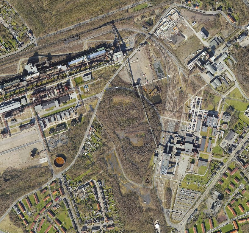
Straßenbefahrung des Regionalverband Ruhr, Auflösung und Herkunft siehe Metadaten-Layer
- File identifier
- fa70ebe2-1784-4898-b6fc-09daf4647bb1 XML
- Metadata language
- Deutsch
- Character set
- UTF8
- Hierarchy level
- Dataset
- Date stamp
- 2026-04-22
- Metadata standard name
-
ISO 19115:2003/19139
- Metadata standard version
-
1.0
Overviews
thumbnail
Spatial extent
N
S
E
W
Provided by

Associated resources
Not available